On-Call Surveying
Kane County Division of Transportation

OBJECTIVE
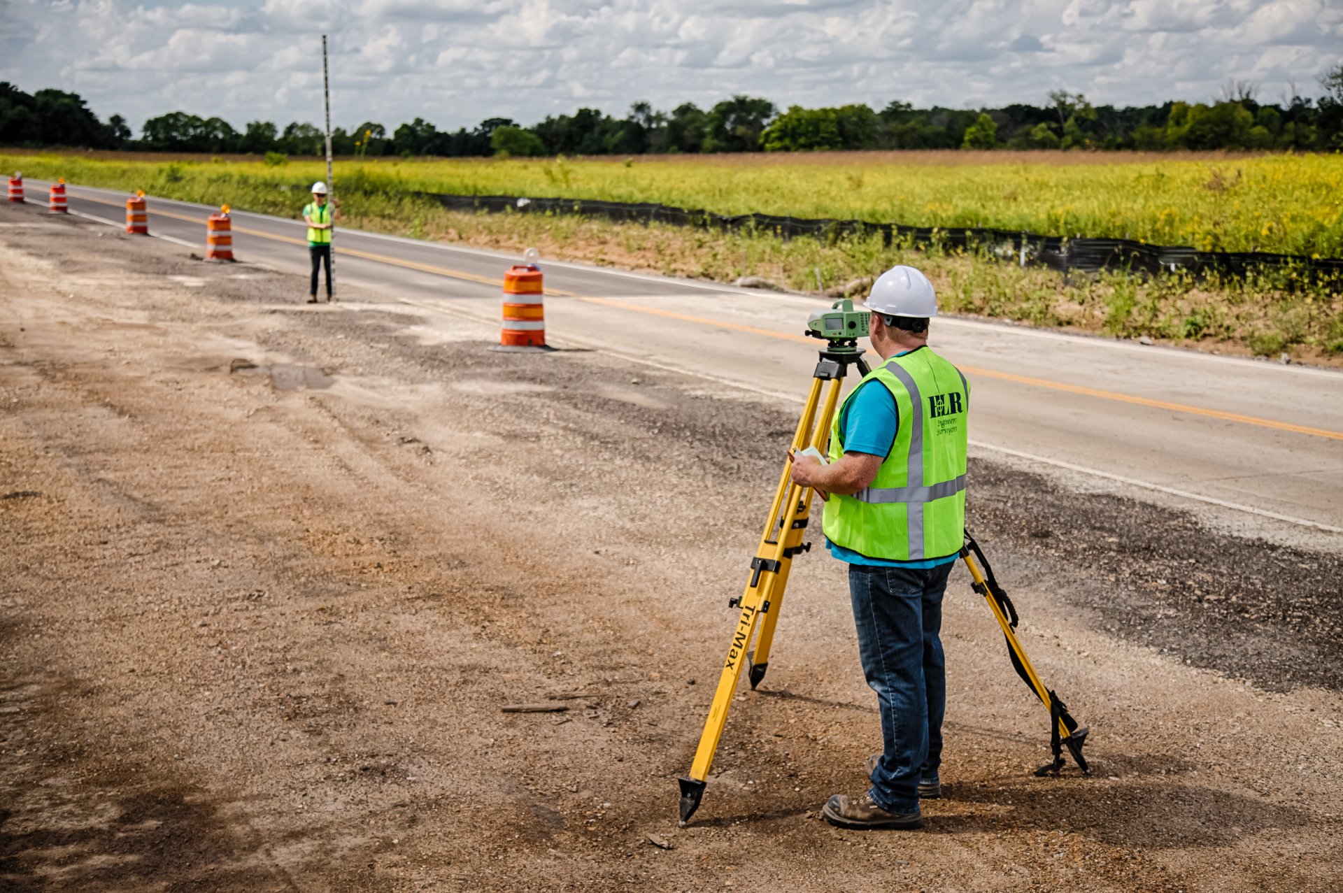
HLR conducts various land surveying activities for Kane County on an as-needed basis. Surveys include services such as preparing Plats of Highways, staking right-of-way, and route surveys.
PROJECT DESCRIPTION
Some of the projects include:
Seavey Road Maintenance Facility:
- Conducted a boundary survey of the 29-acre maintenance facility in Blackberry Township.
- The survey was required for the installation of a chain-link fence around the perimeter.
- Re-established a section corner and set five corners of the boundary during the survey.
- Prepared a Plat of Survey for recording to show the location of the new fence.
IL 47 at Burlington Road:
- Performed an existing right-of-way survey and prepared Plats of Highways and legal descriptions for the proposed roundabout at the intersection.
- Located property lines and necessary section corners to establish right-of-way from all four quadrants.
Kirk Road at Stadium Street:
- Conducted a route survey of Kirk Road from Foxfield Road to Fox Chase Drive in St. Charles.
- The survey was necessary for the widening and resurfacing of Stadium Street.
- Provided cross sections, located right-of-way and easements, and supplied the digital terrain model with contours for the County's design use.
Burlington Road Spillway Monitoring:
- In accordance with a commitment to the landowner, the County agreed to monitor the concrete spillway at Burlington Road and Corron Road during construction.
- Inspected the spillway and recorded its condition before construction.
- Installed monitoring targets at six locations on the spillway.
- Conducted weekly monitoring of the targeted locations throughout construction to observe any horizontal or vertical movement in the structure.
Fabyan Parkway at IL 31:
- Performed an existing right-of-way survey and prepared Plats of Highways and legal descriptions for a land exchange between the County of Kane and the Kane County Forest Preserve District.
Longmeadow Parkway:
- Conducted various surveying tasks, including supplemental route surveys and right-of-way plats necessary for the acquisition of the Longmeadow corridor.
- Completed Plats of Highways for the IL 31 intersection and the IL 62 intersection with Longmeadow.
PROJECT HIGHLIGHTS
- Improved accuracy and knowledge of boundary lines and right-of-way for various project areas
- Proper documentation and recording of survey data through the preparation of Plats of Survey and legal descriptions
- Facilitated land exchange agreements between governmental entities, promoting effective land management and resource allocation
- Efficient acquisition and management of project areas through supplemental route surveys and right-of-way plats