McLean Boulevard Improvements
Village of South Elgin

OBJECTIVE
The two-lane, 7,000-foot-long stretch of McLean Boulevard between Spring Street and Stearns Road does not have the capacity to safely accommodate the 14,000 vehicles that use it each day. Hampton, Lenzini and Renwick, Inc. (HLR) provided Phase I preliminary engineering and is currently providing Phase II design engineering for the reconstruction and widening of McLean Boulevard to improve safety and mobility.
PROJECT DESCRIPTION
Hampton, Lenzini and Renwick, Inc. (HLR) provided Phase I and II engineering for the reconstruction and widening of McLean Boulevard between Spring Street and Stearns Road to improve safety and mobility. Improvements to this route are needed to address issues of roadway and intersection capacity and efficiency, provide pedestrian and bicycle accommodations, improve drainage along the corridor, and improve the design geometry of the roadway. McLean Boulevard is an unmarked state route, so coordination with IDOT’s Bureaus of Traffic, Programming, and Local Roads was required. The route will be Jurisdictionally Transferred to the local agency at the end of construction.
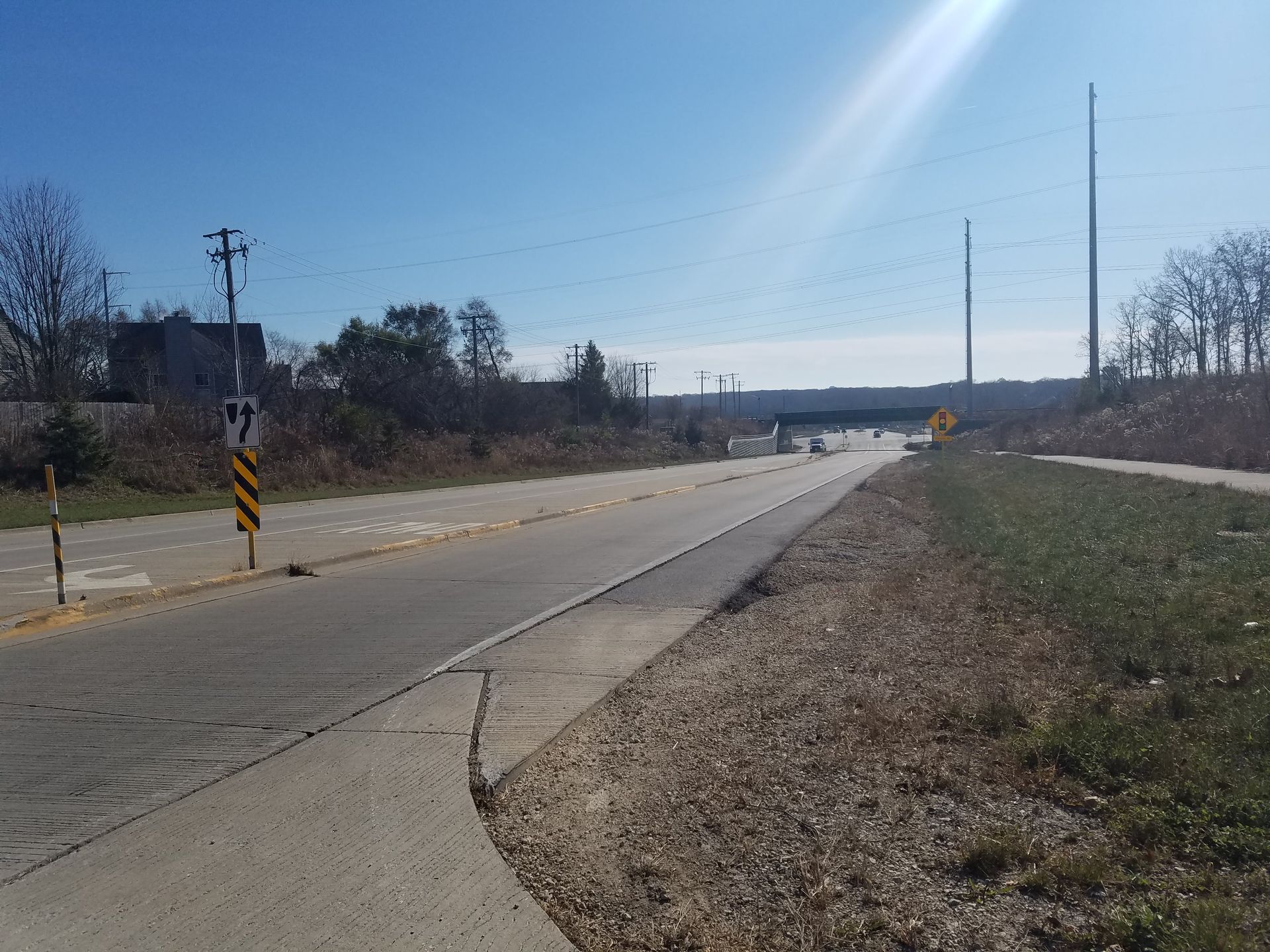
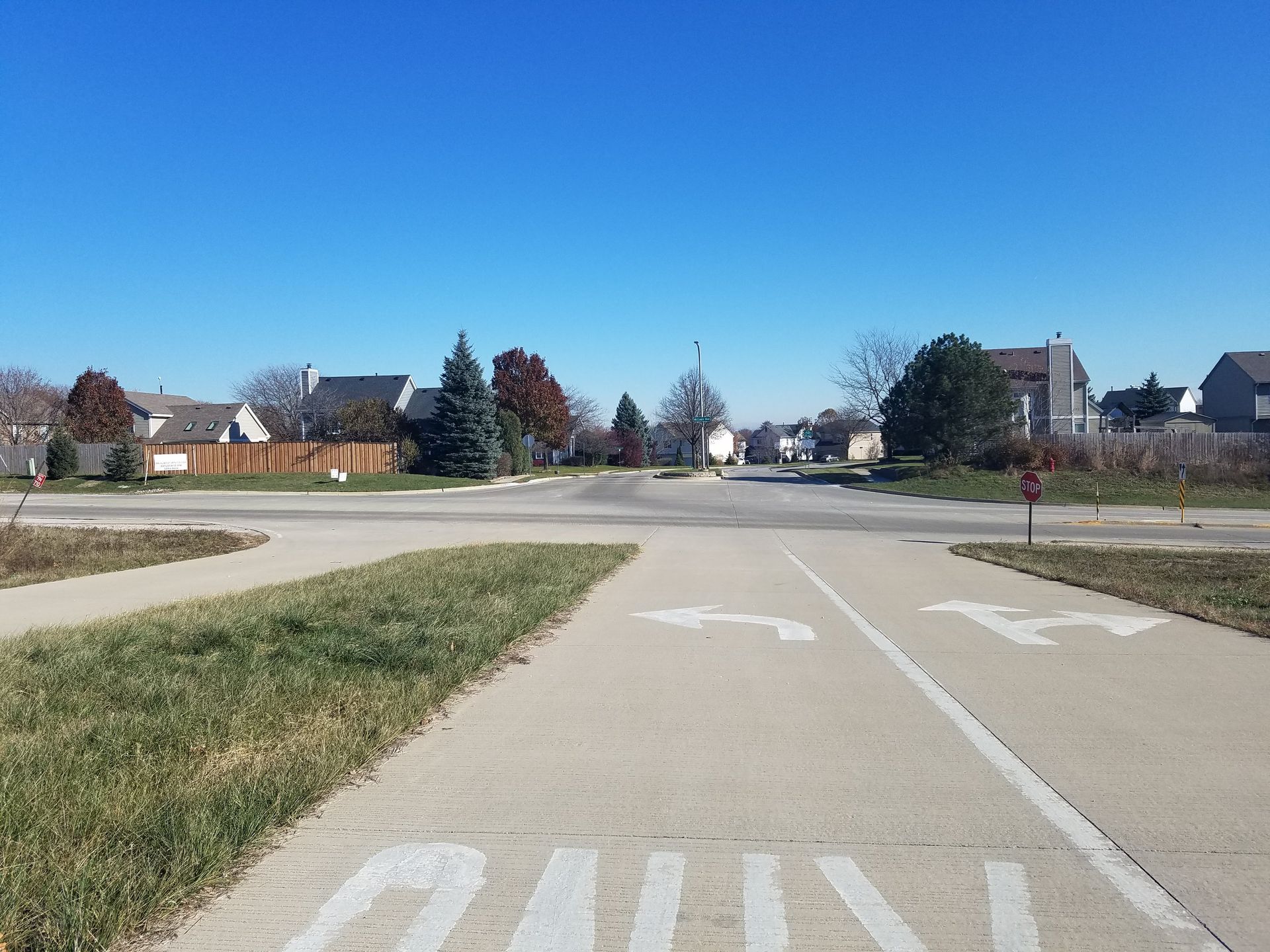
Minor changes will be made to the Stearns Road and McLean Boulevard intersection. The eastbound dual left-turn lanes where the outside turn lane is currently not being used will be striped and the southbound right-turn lane will be converted to a thru/right-turn lane.
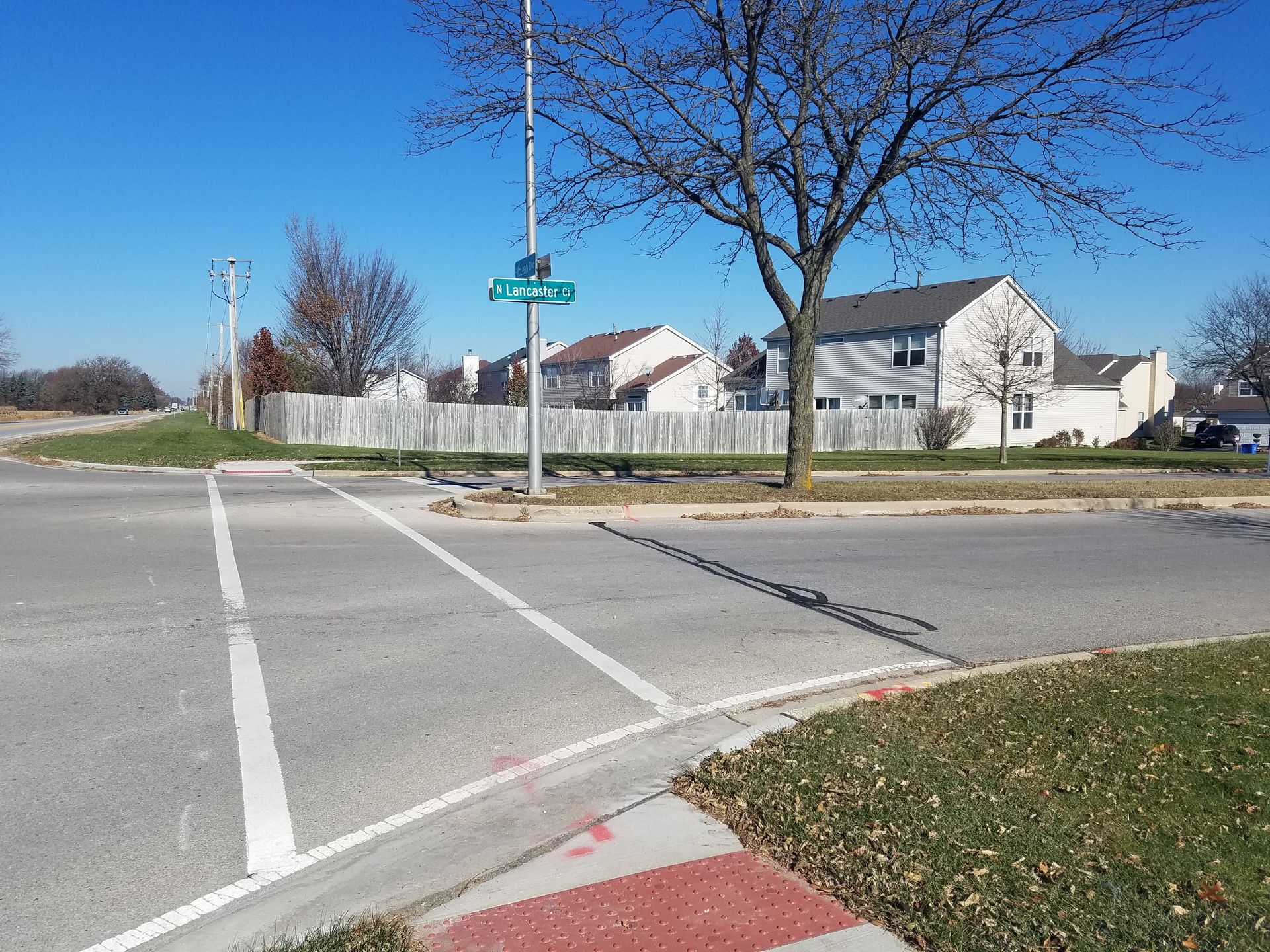
A multi-use path will be added to the east side of the road from Spring Street to North Lancaster and on the west side from North Lancaster Circle to Stearns Road. A new traffic signal will be installed at North Lancaster Circle. The path will provide the missing gap in a region-wide path network. A noise analysis was also required due to the proposed widening of McLean Boulevard which moves traffic closer to sensitive noise receptors. Noise modeling was conducted to evaluate the existing noise levels, determine if a potential noise level met the definition of a noise impact based on the federal and state regulations for that land use, and evaluate a noise wall at any impacted locations. Traffic Noise Model 2.5 was utilized to model existing and proposed conditions and to evaluate a noise wall at this location. Noise abatement was recommended based on meeting the feasibility criteria, noise abatement goal, cost effectiveness criteria, and public outreach.
During Phase II, strong coordination efforts were made by HLR to coordinate multiple changes to the project scope due to the planning and construction of a new residential housing development on the west side of the project limits. This development began planning efforts in the middle of design because the McLean letting was delayed by IDOT due to another project using this portion of McLean as a detour route. These changes required an ESR and PDR addendum along with multiple coordination meetings between multiple IDOT Bureaus, the Village, and housing development stakeholders.
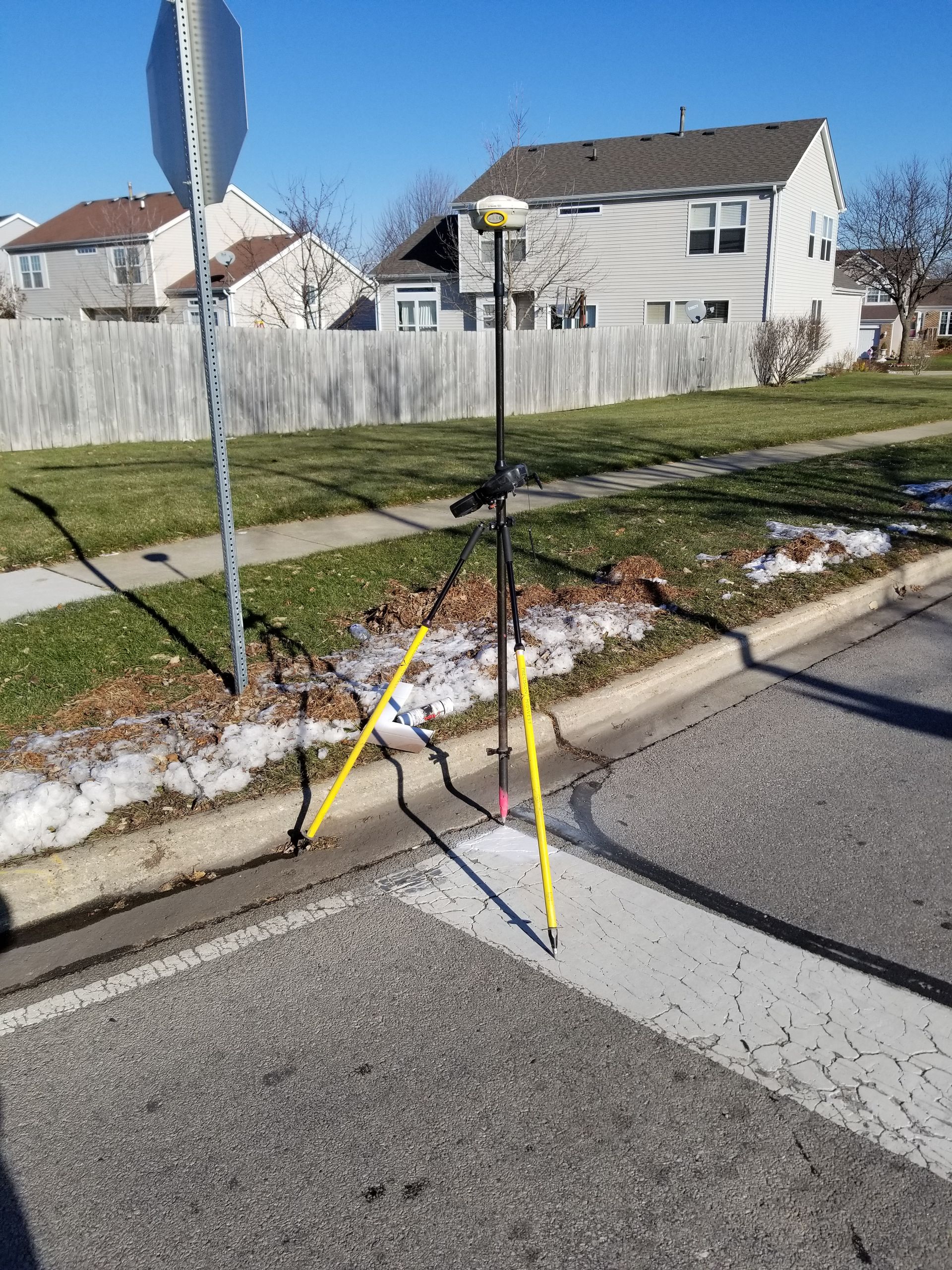
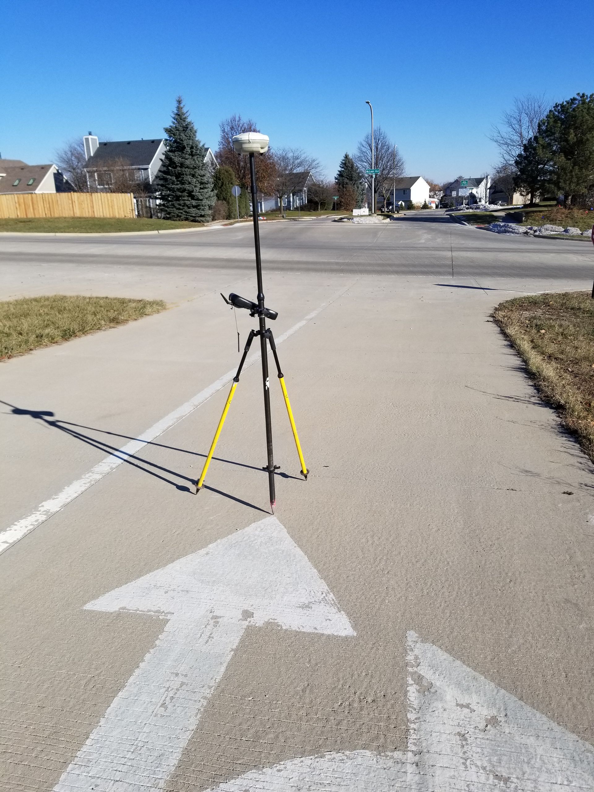
The project included field inspections, wetland delineation, topographic survey, tree survey, noise analysis, federal categorical exclusion environmental processing, geometric studies, crash analysis, Project Development Report (PDR), an open-house public meeting, a Location Drainage Study, developing plans and specifications for construction, 3D CAD modeling, ESR and PDR addendums, appraisals and negotiation for land acquisition, purchase of wetland credits, and various permitting with the IEPA and Kane County.
PROJECT HIGHLIGHTS
- Widening from two lanes to a four-lane divided roadway
- Curb and gutter urban cross section
- New multi-use path
- New traffic signals at North Lancaster Circle
- Noise reduction for residential properties along the east side of McLean via a new noise wall