Kishwaukee Bike Path
City of DeKalb

OBJECTIVE
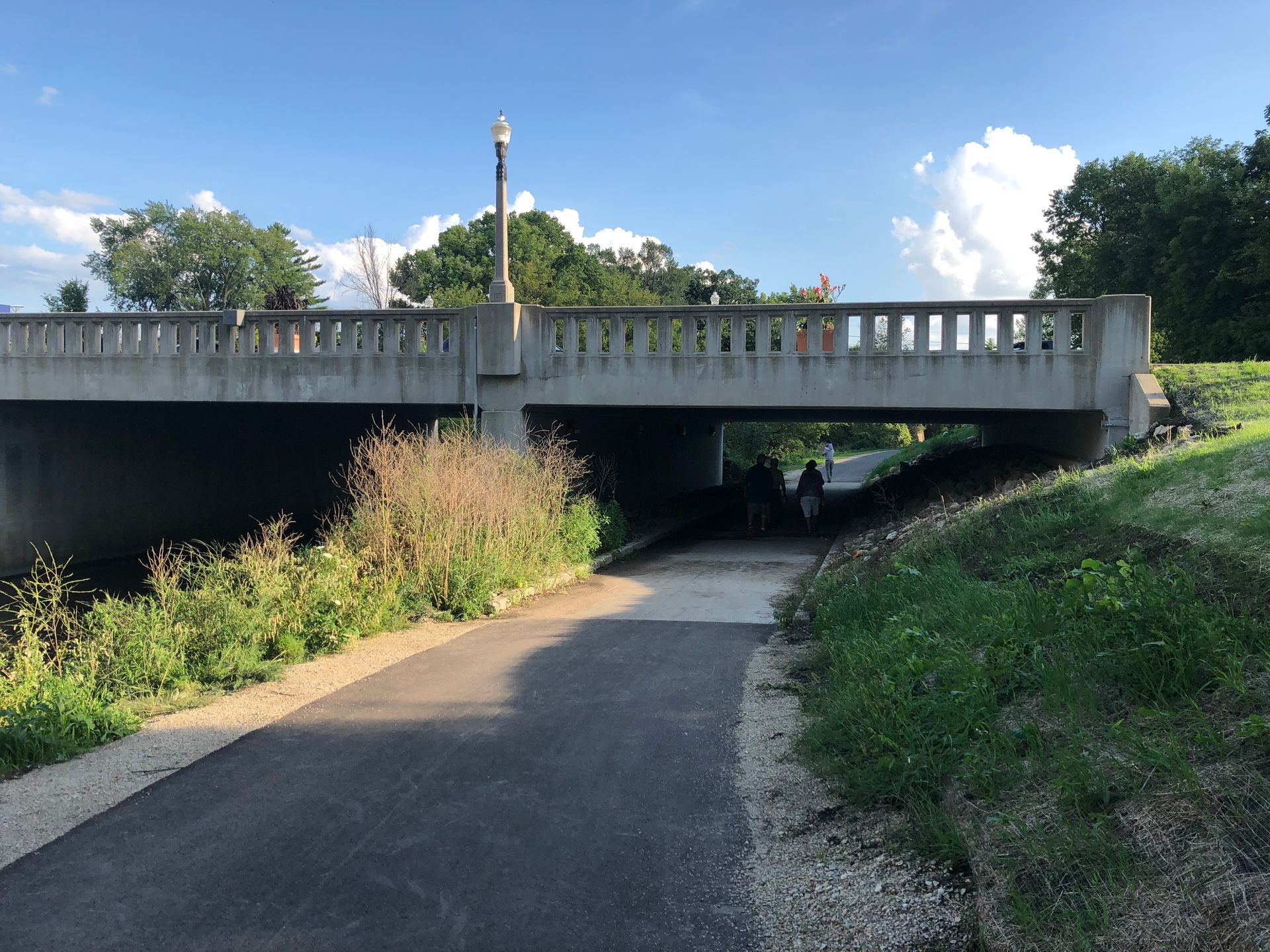
The City of DeKalb was seeking to establish a connection between the existing DeKalb Nature Trail, situated along the Kishwaukee River within the Northern Illinois University Campus, and Prairie Park. Given its proximity to the river and Union Pacific Railroad, extensive coordination and planning were required to complete Phase I, II, and III of this pathway.
PROJECT DESCRIPTION
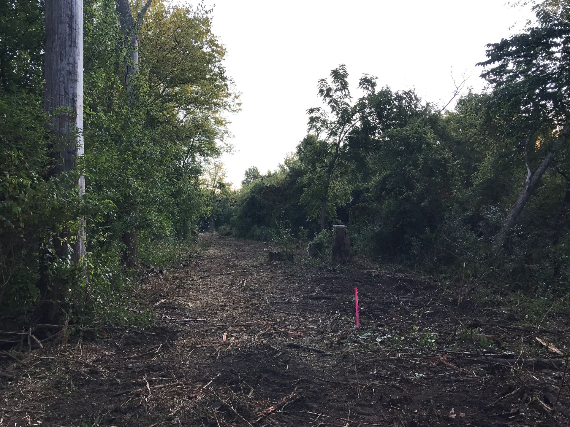
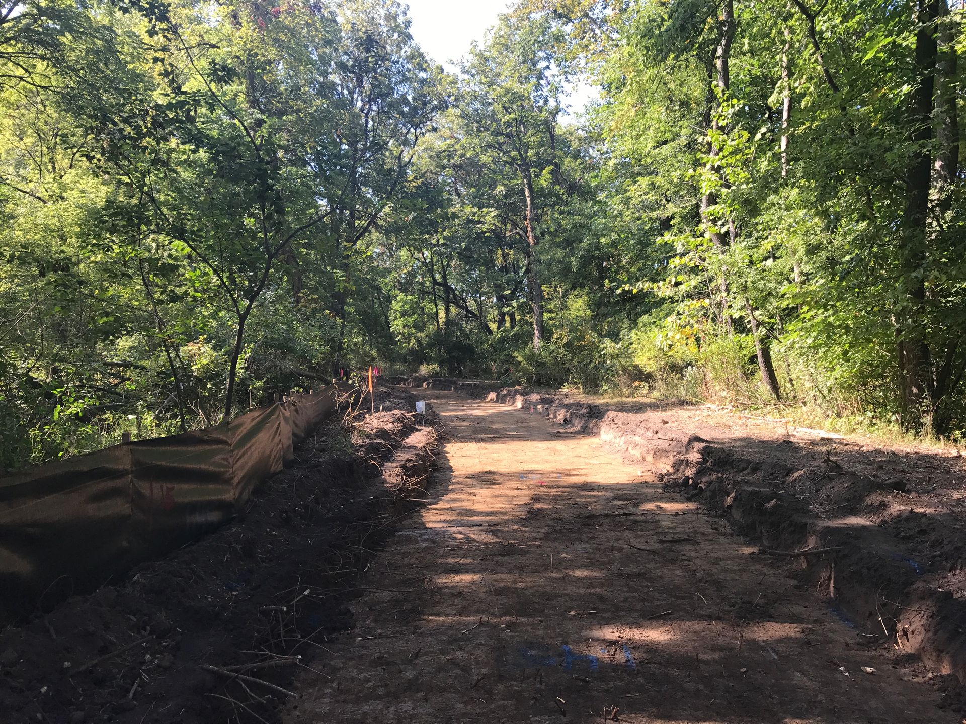
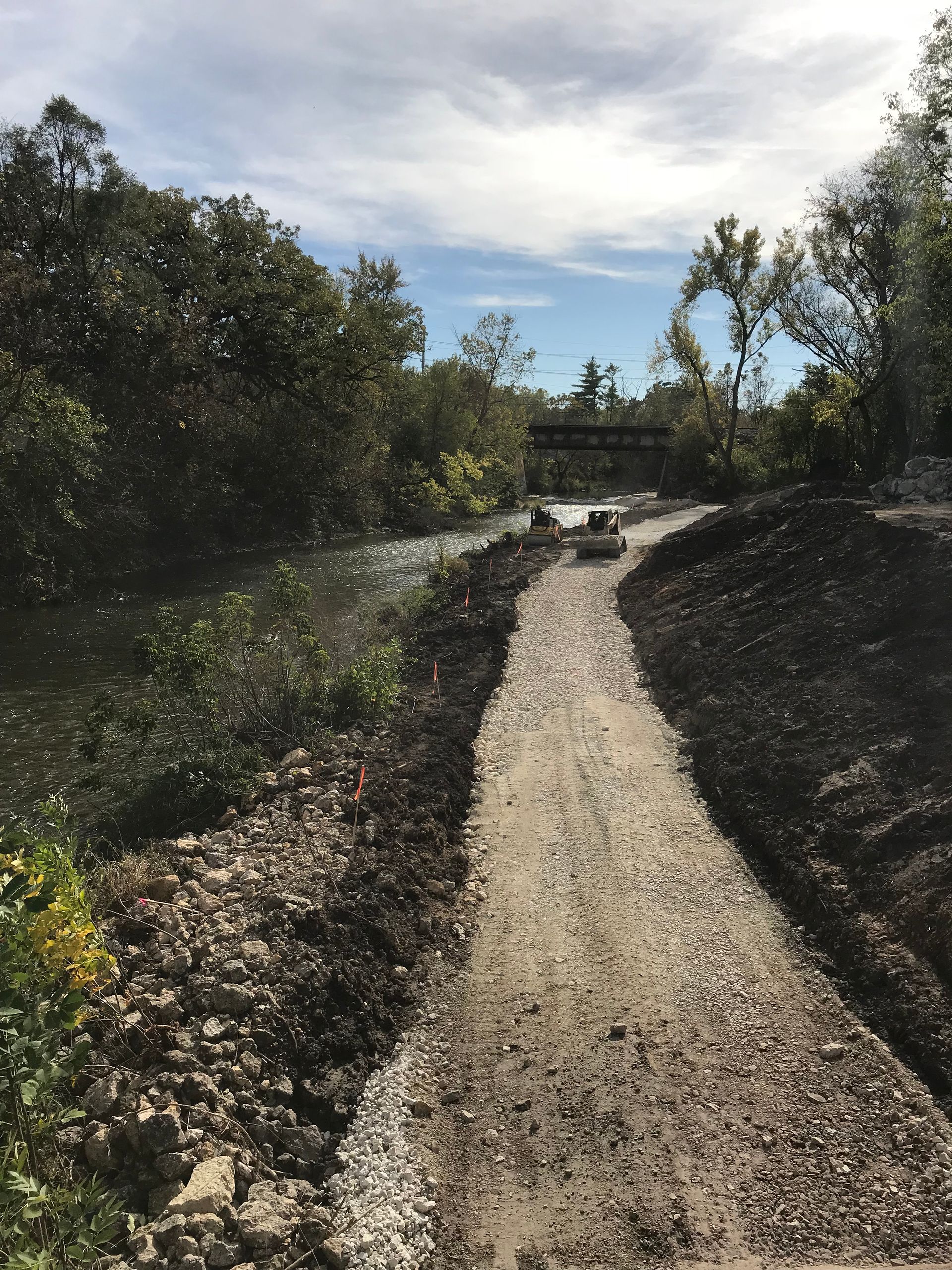
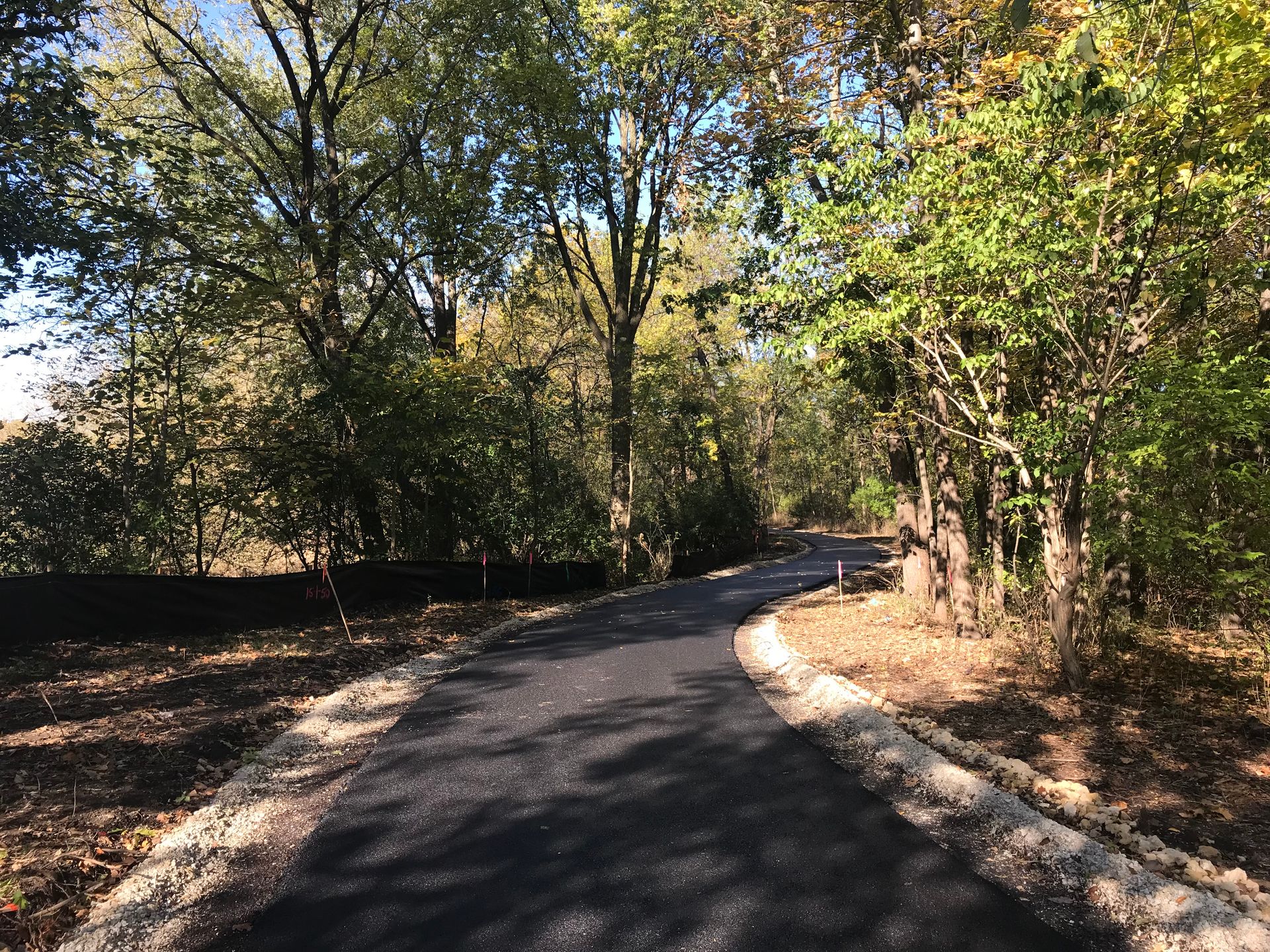
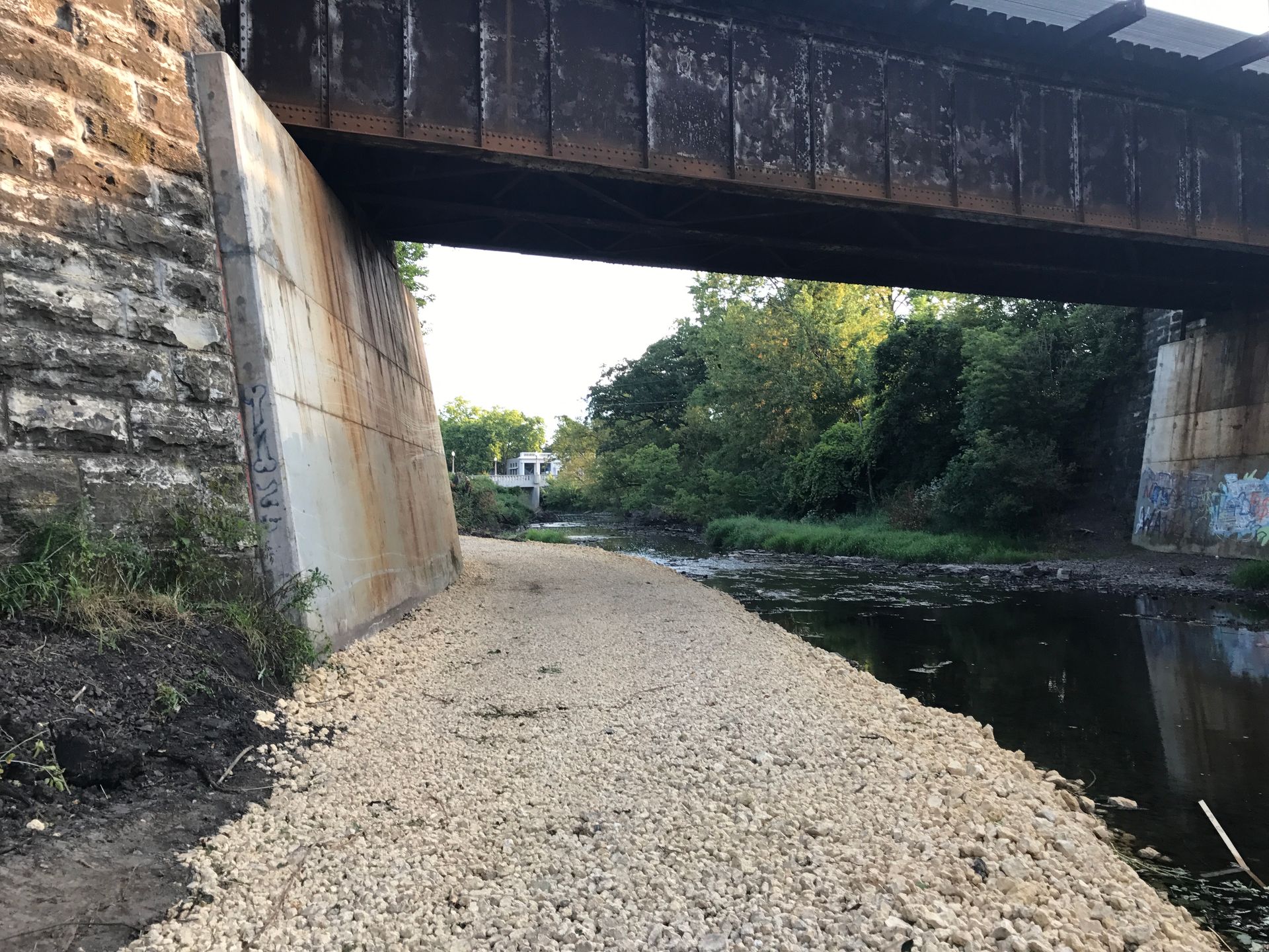
HLR's surveyors began by conducting topographic and stream surveys of the Kishwaukee River and potential sites for the bike path alignment. Coordinating with both the City of DeKalb and the DeKalb Park District was essential to determine the optimal location for the proposed bike path, taking into account minimizing tree and wetland impacts.
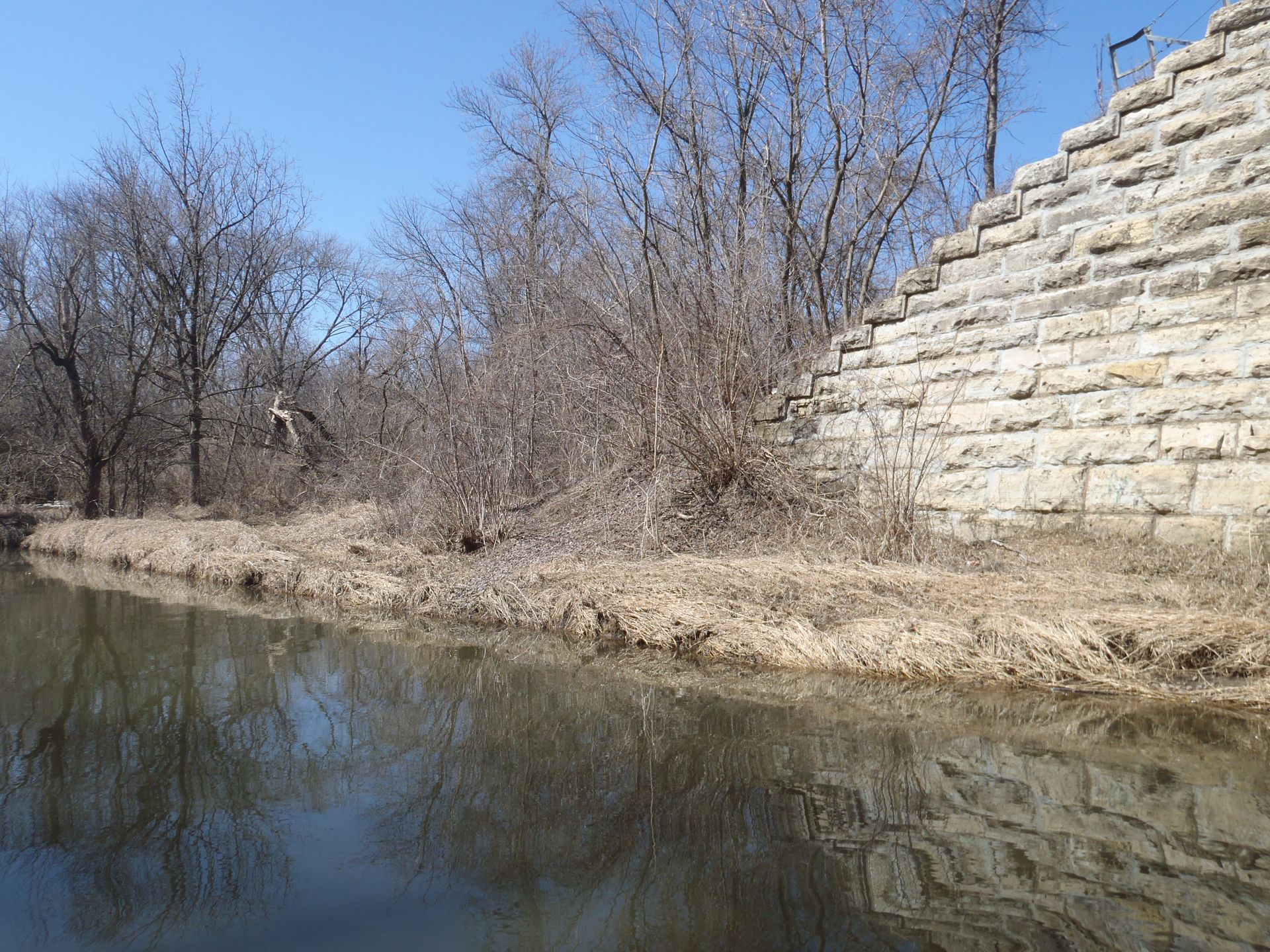
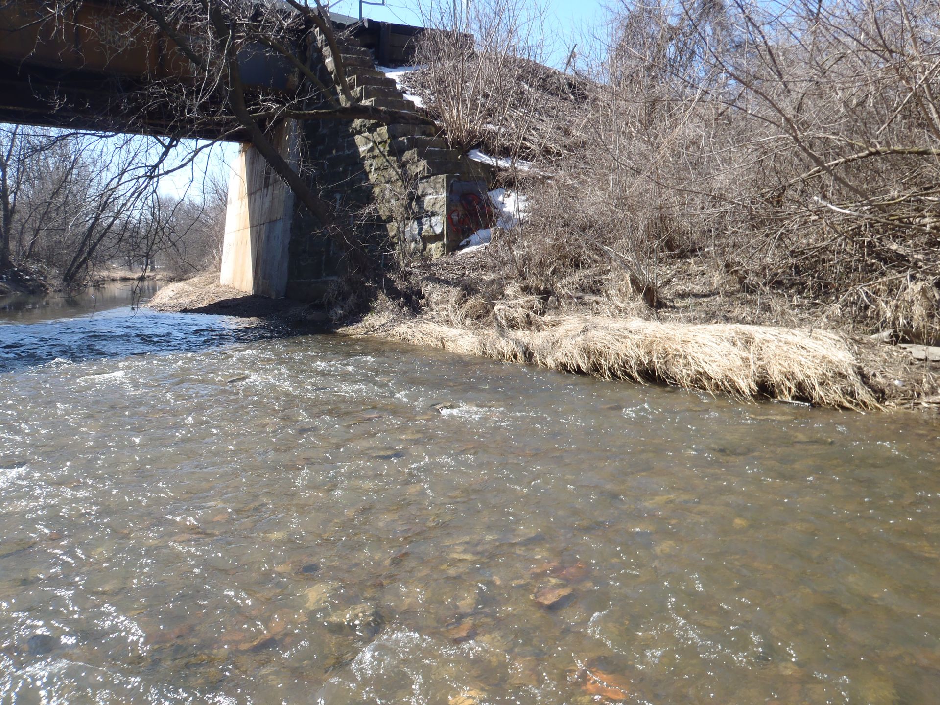
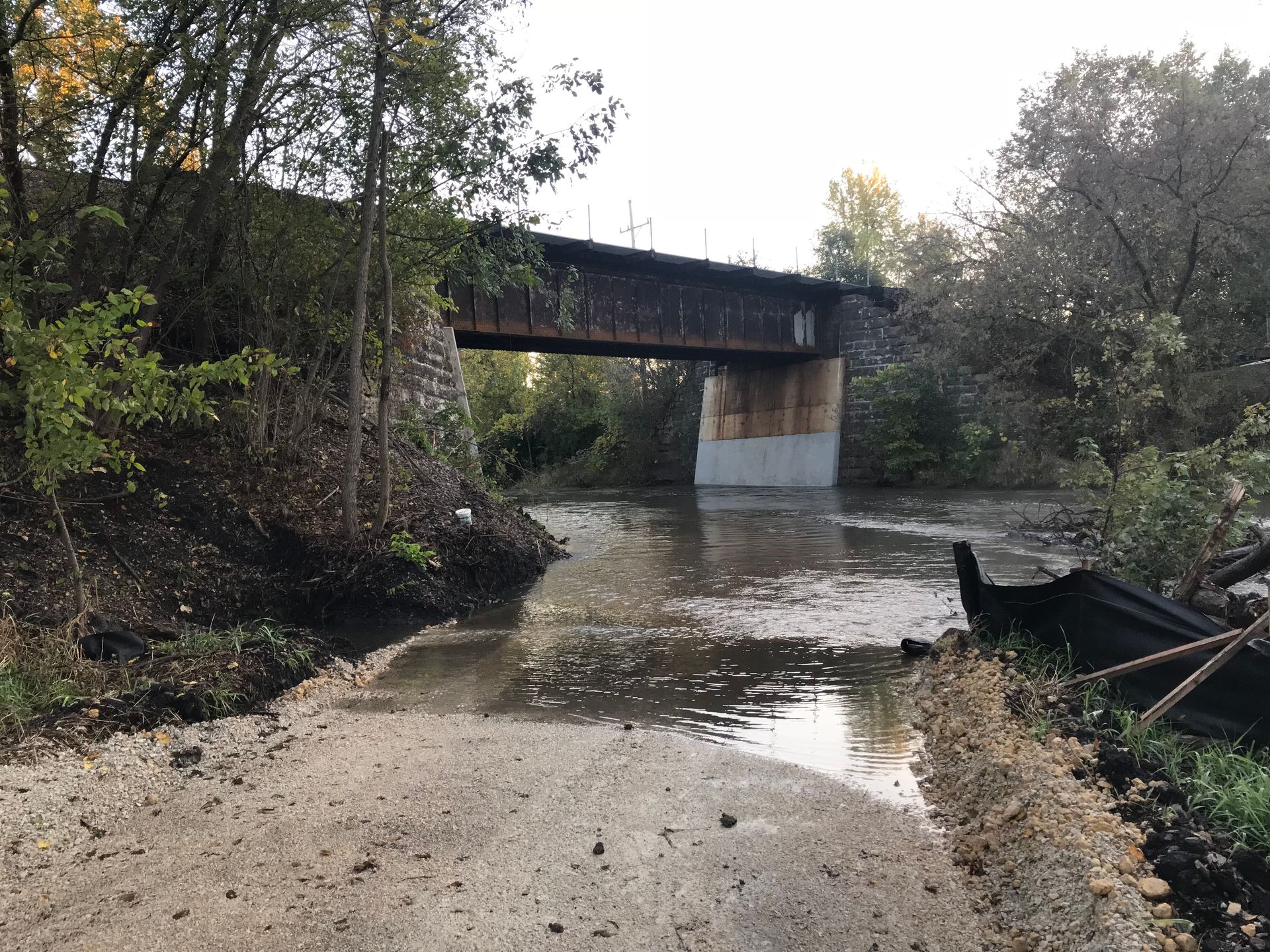
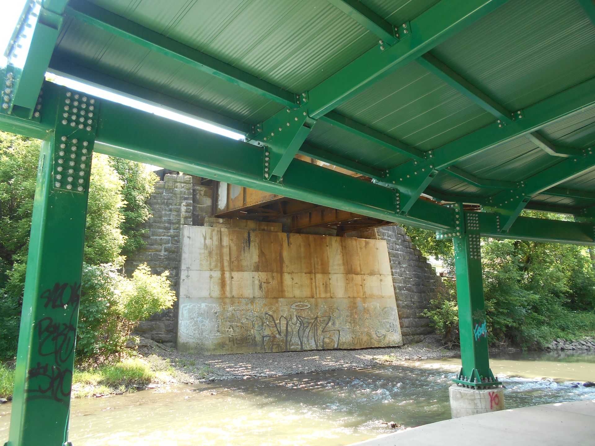
The bike path's placement was also influenced by fill within the regulatory floodway of the Kishwaukee River. Upstream residences from the Union Pacific and Illinois Route 38 bridge crossings of the Kishwaukee are susceptible to flooding. Our design engineers developed an iterative path location that balanced compensatory storage and riverine conveyance, ensuring that the water surface upstream would not rise significantly during various storm events. Our stormwater engineers utilized HEC-RAS hydraulic modeling to verify that the proposed crossing would not pose a risk to the flood-prone buildings.
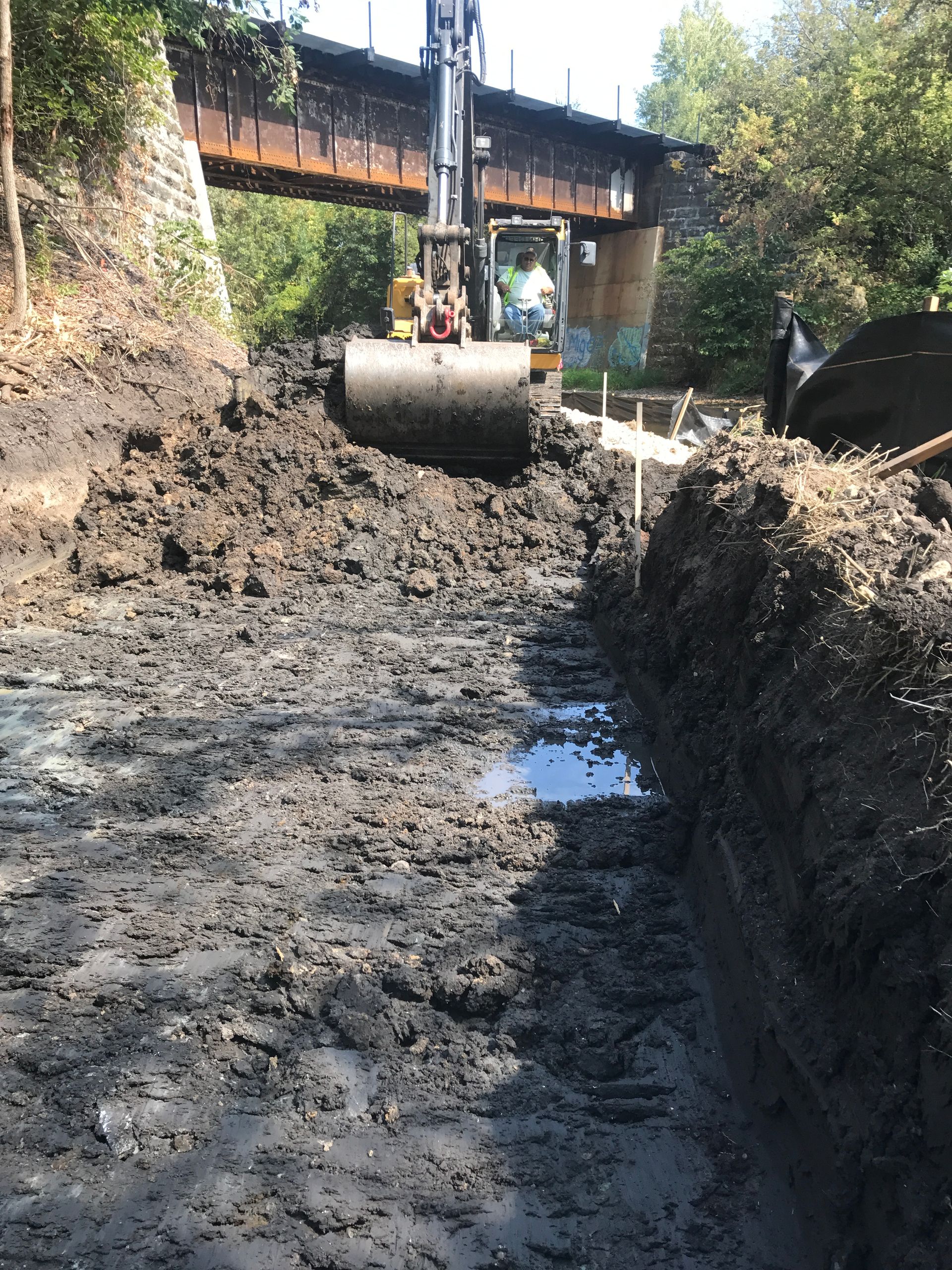
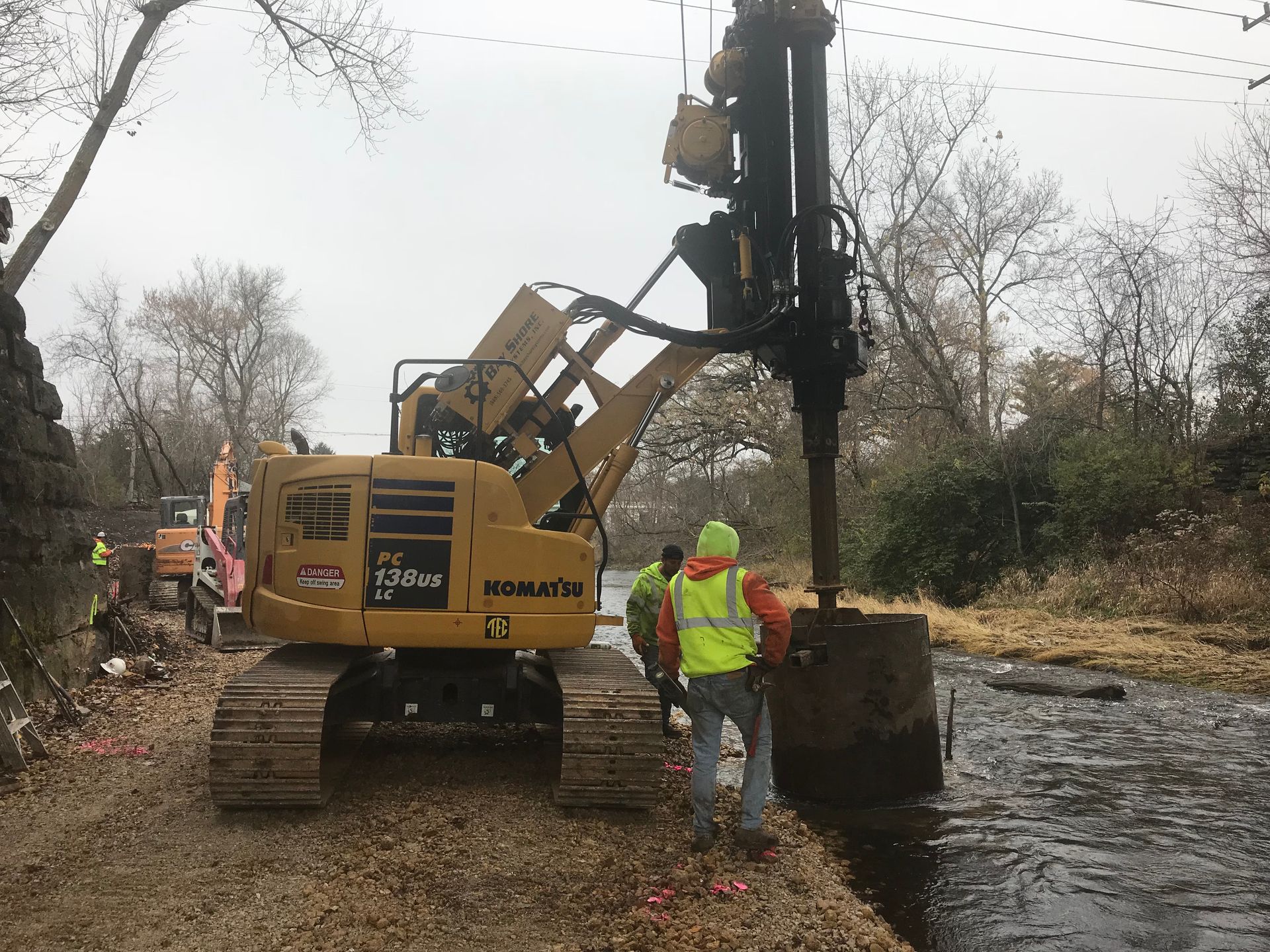
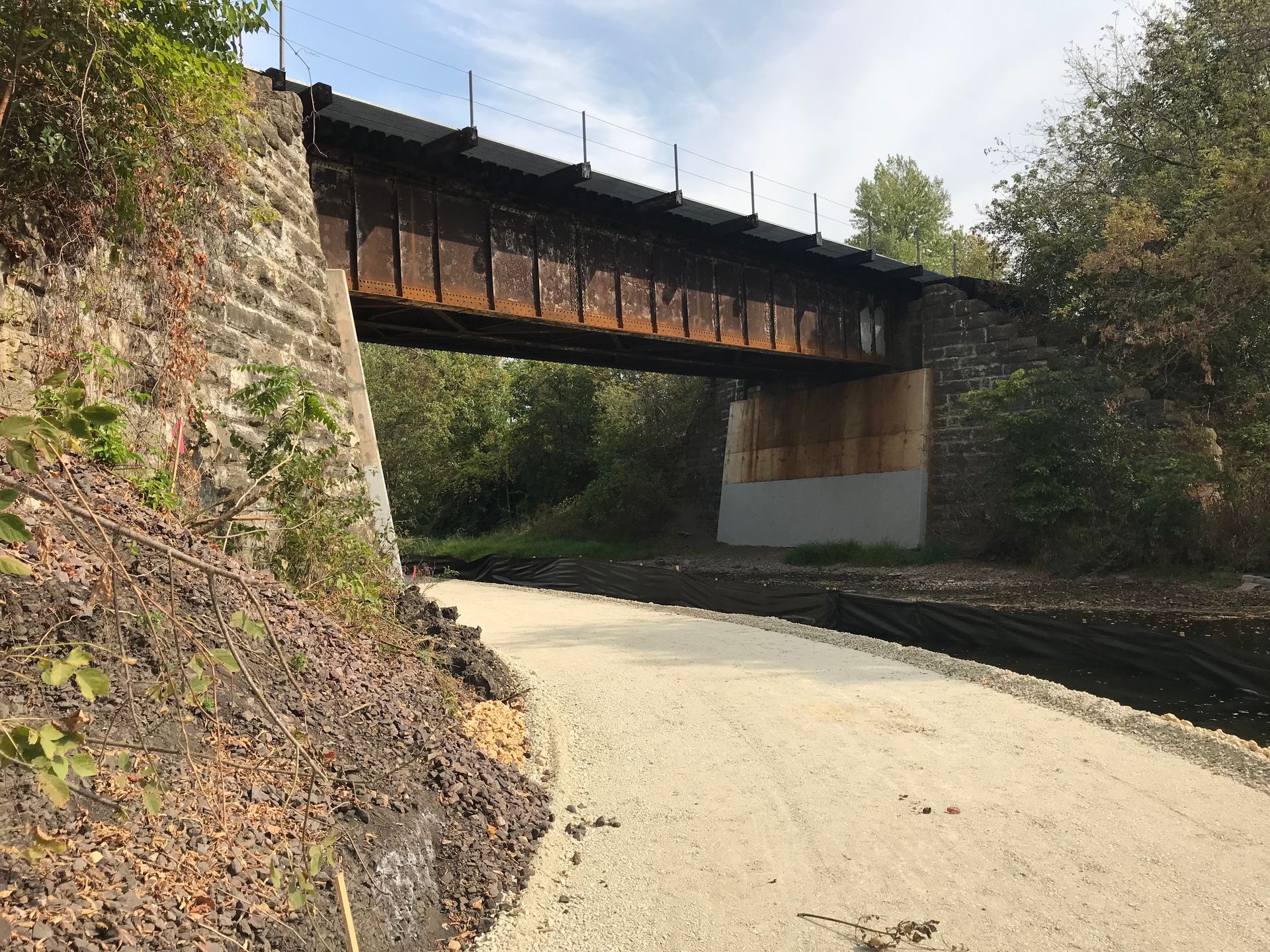
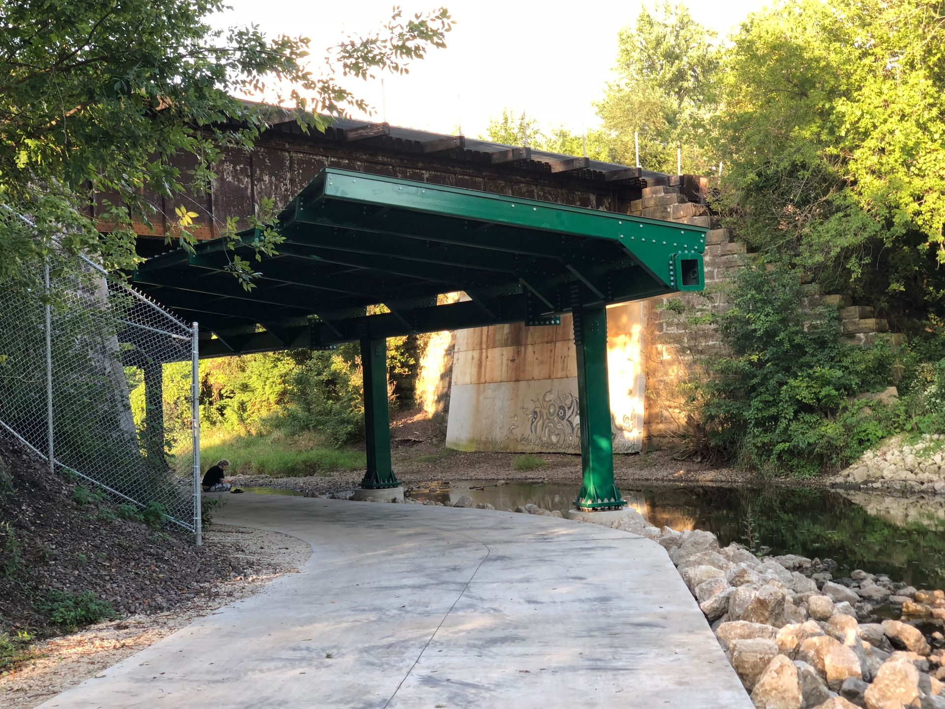
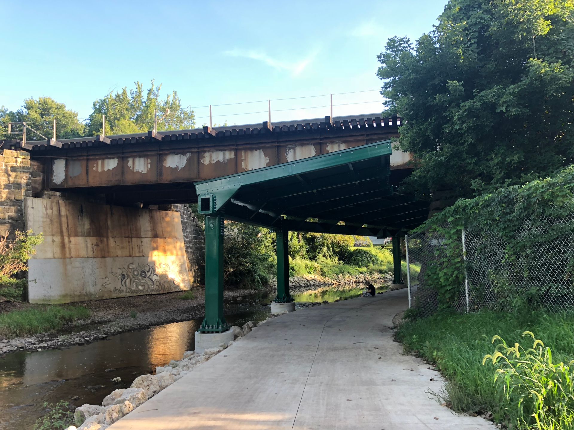
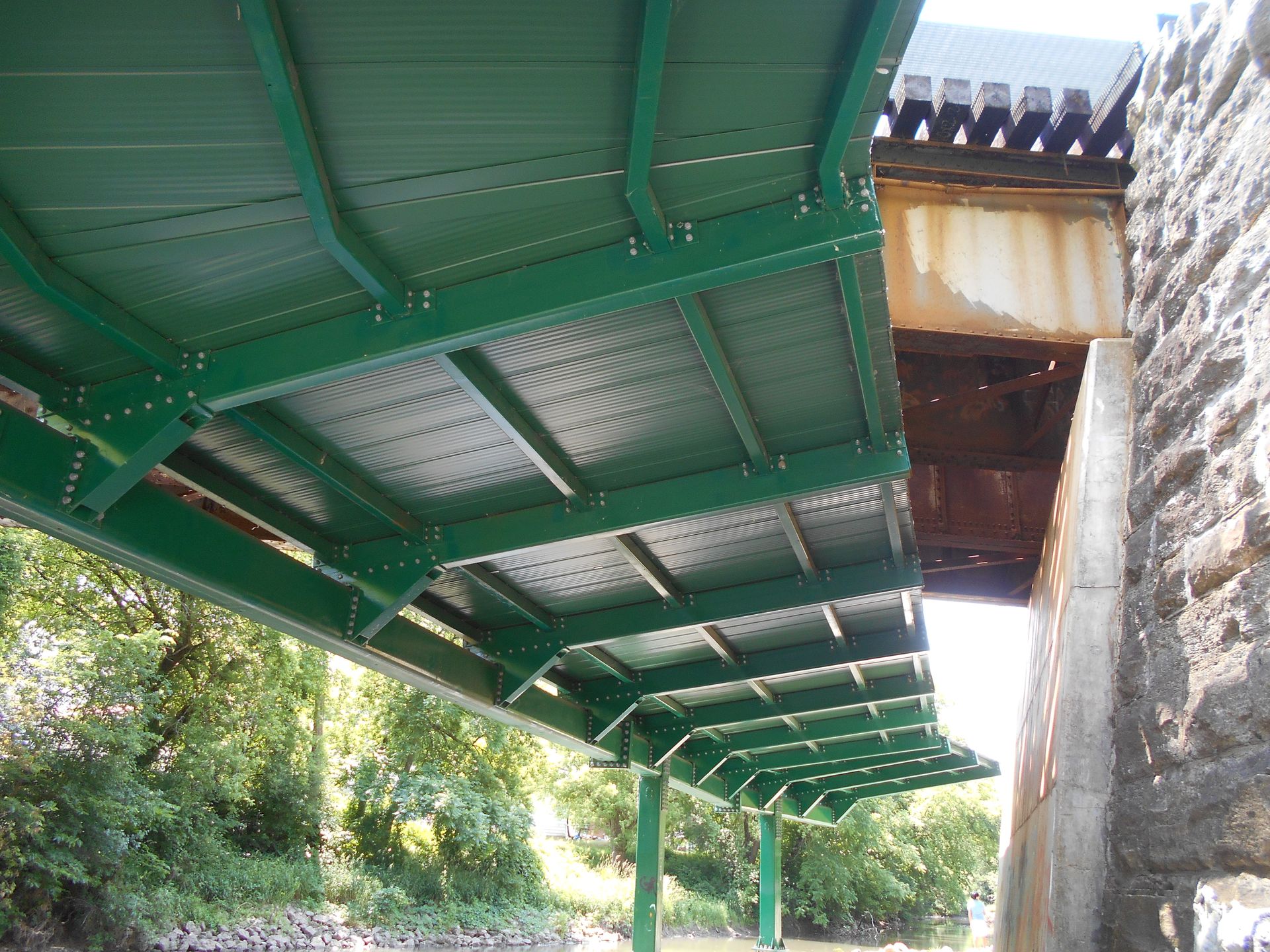
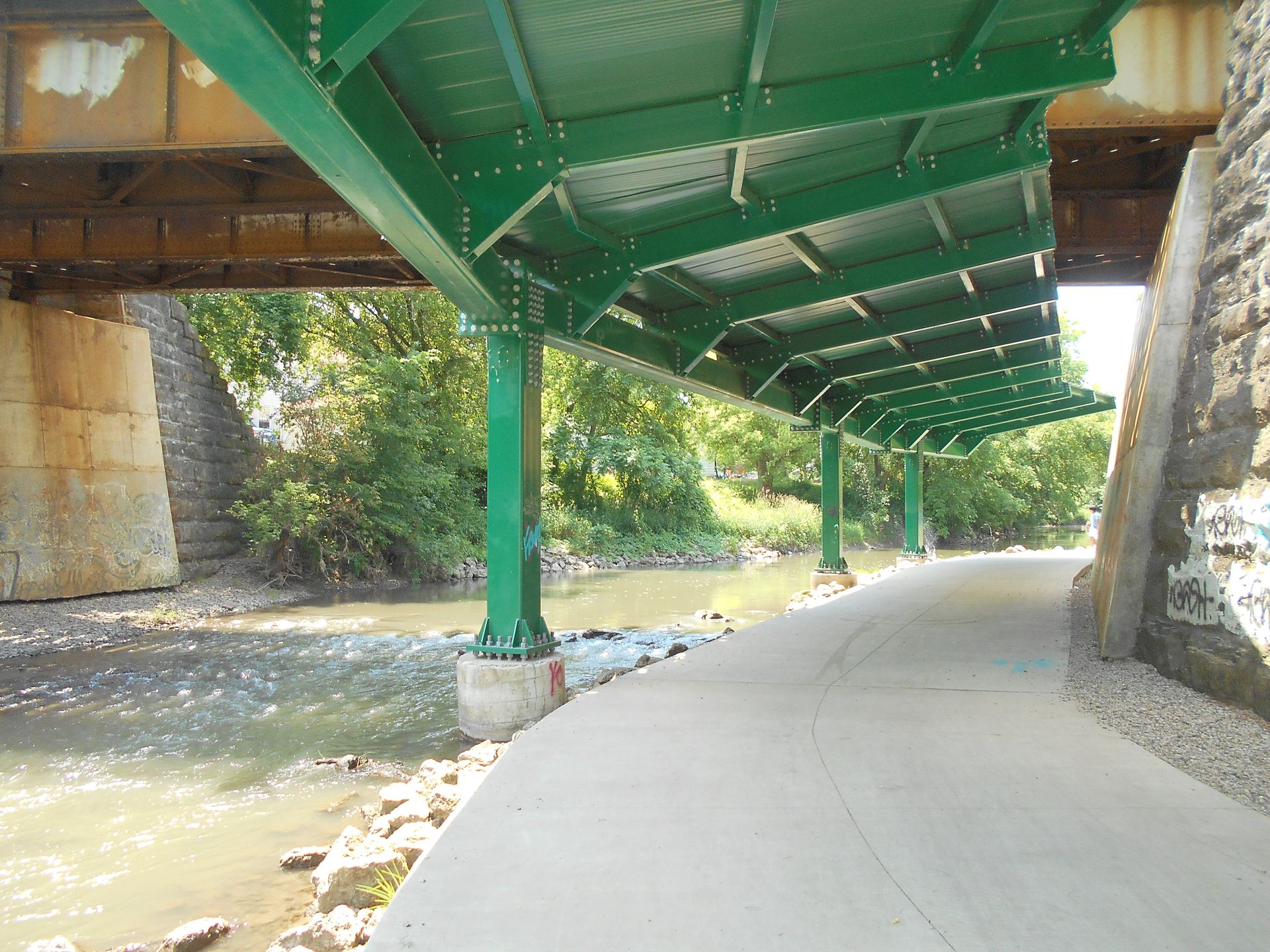
HLR also designed an overhead structure above the planned bike path to deflect any loose ballast that could fall from the railroad bridge. This posed a challenge as the design needed to be sufficiently rigid to withstand wind loading between the long pier lengths. The overhead structure also had to be positioned at least 2 feet below the bottom of the railroad bridge and above the Kishwaukee River's base flood (100-year) elevation.
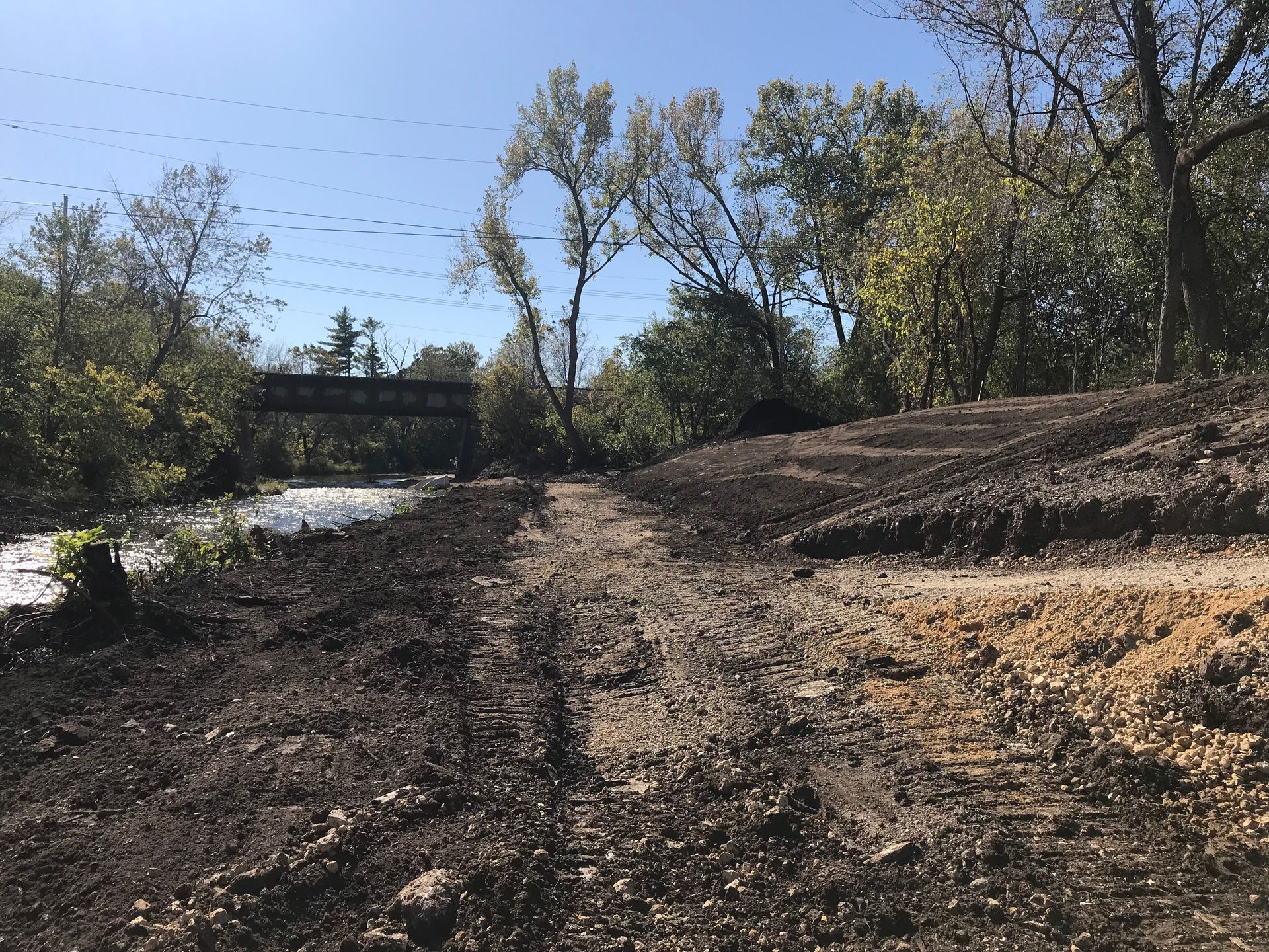
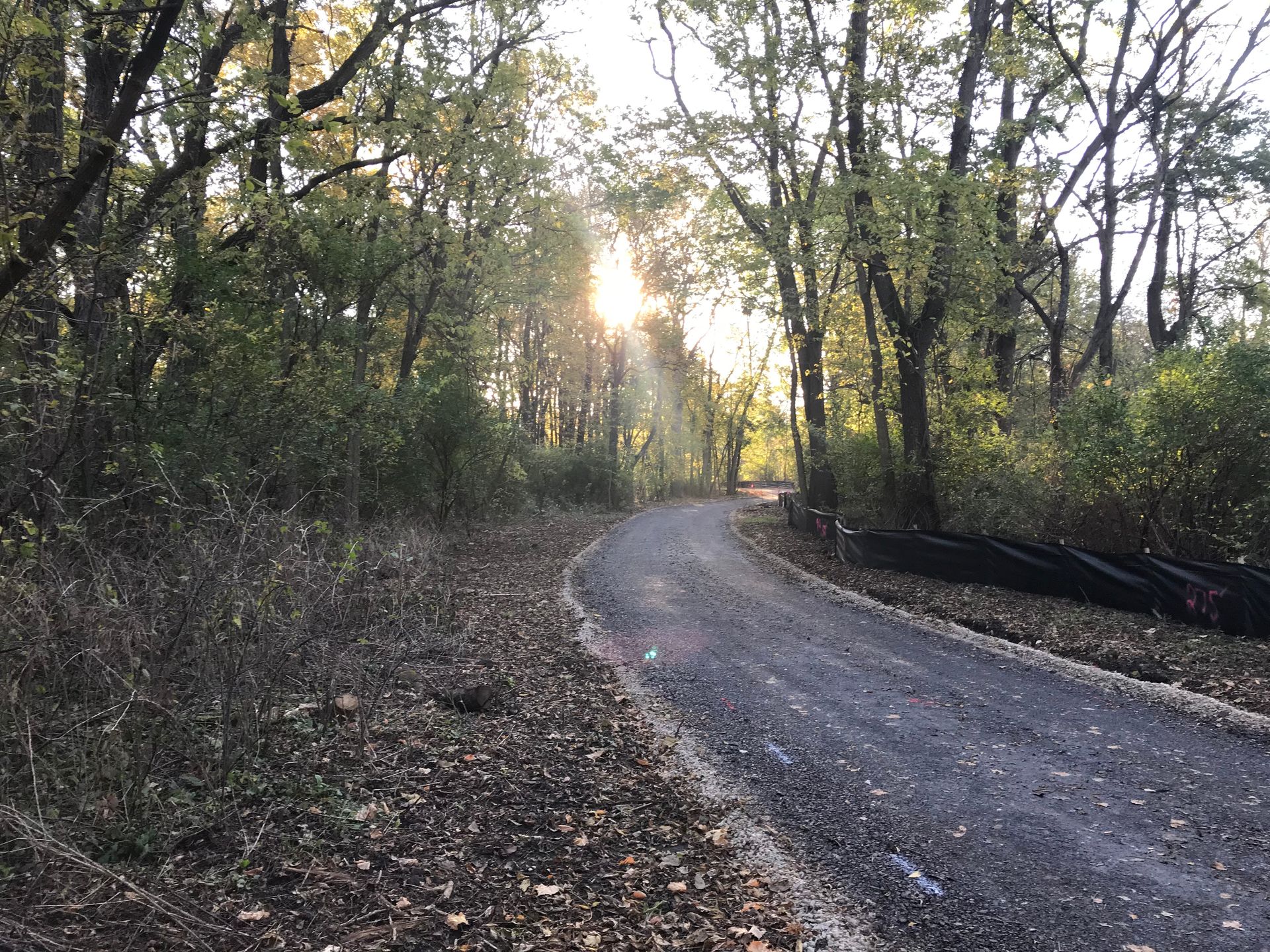
Once the location was determined, the design phase began, and the properties required for easements or permanent acquisition were identified, initiating the land acquisition process. In addition to designing the bike path, which included 1,850 feet of HMA path and 250 feet of concrete path, as well as minor drainage improvements, a Railroad Protective Cover structure was designed to safeguard the path beneath the Union Pacific Railroad Bridge. Both Phase I and Phase II engineering processes were coordinated through IDOT District 3 Bureau of Local Roads and Streets.
Our professional land surveyors prepared all plats and legal descriptions for the necessary right-of-way to construct the proposed bike path. Our team also conducted appraisals and negotiations for the two parcels where right-of-way acquisition was required.
HLR completed a wetland delineation and report and obtained USACE wetland permits. Additionally, a Preliminary Environmental Site Assessment (PESA) and tree survey were conducted.
Coordination was essential to obtain approvals and permits from the following entities:
- City of DeKalb
- DeKalb Park District
- Illinois Department of Transportation
- Union Pacific Railroad
- U.S. Army Corps of Engineers
- Illinois Department of Natural Resources, Office of Water Resources
PROJECT HIGHLIGHTS
- Improved connectivity for residents between the DeKalb Nature Trail and Prairie Park
- Enhanced safety for cyclists and pedestrians with the addition of the bike path
- Minimized tree and wetland impacts through careful planning and coordination
- Protection of upstream residences from flooding through effective path location design
- Enhanced structural integrity and safety with the overhead structure to deflect ballast